Topographic vs Cadastral Survey: Which One Do You Need in Nigeria?
VETONGROUP Editorial Team6 min read
Two survey types, two very different jobs, one confusing acronym. Developers ask for a “survey” and get a boundary plan when they needed contours, or order a topographic survey for a land purchase that needed a registered cadastral plan.
Here is the difference, in plain language.
Cadastral Survey: The Legal Boundary
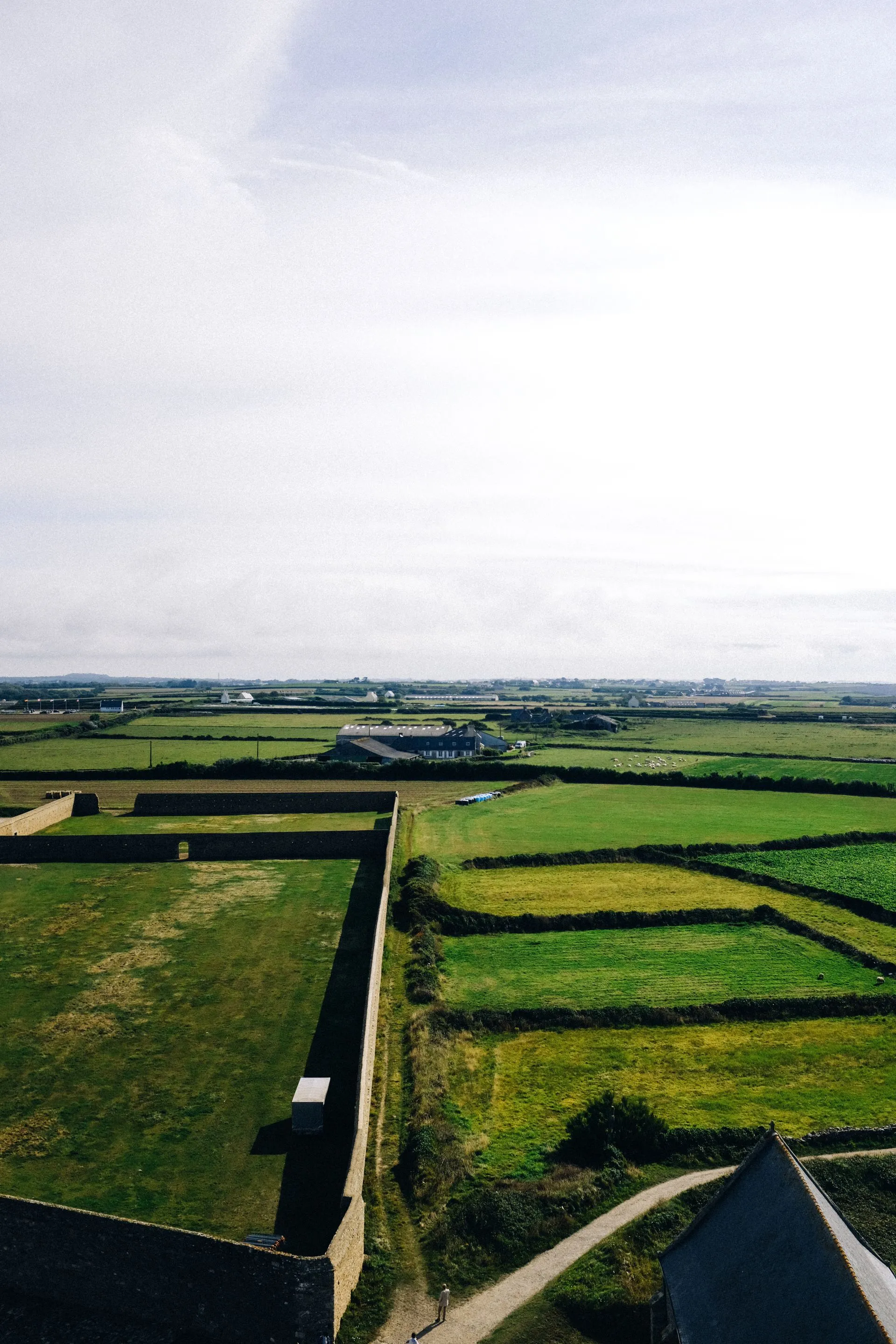
A cadastral survey defines the legal boundary of a piece of land: its exact size, shape and position relative to the national grid. It is the survey that produces the registered survey plan you need for buying land, C of O processing, Governor’s Consent and building approval.
When you need it:
- Buying or selling land
- Processing a C of O or Governor’s Consent
- Registering your title
- Any transaction where the government or a bank is involved
What it produces: A registered survey plan approved by the Surveyor General, with the land’s coordinates, size and beacon positions.
Topographic Survey: The Ground Beneath
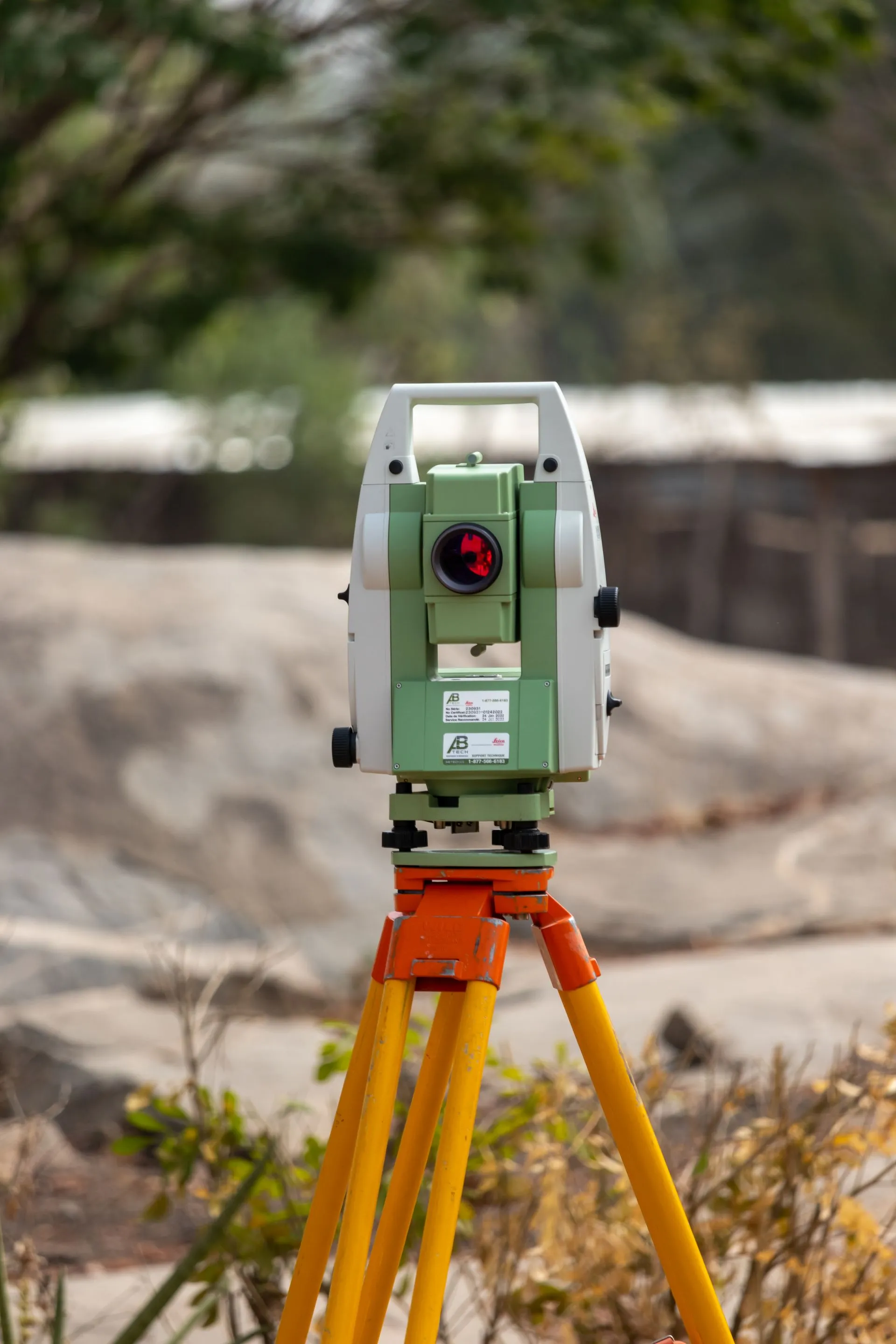
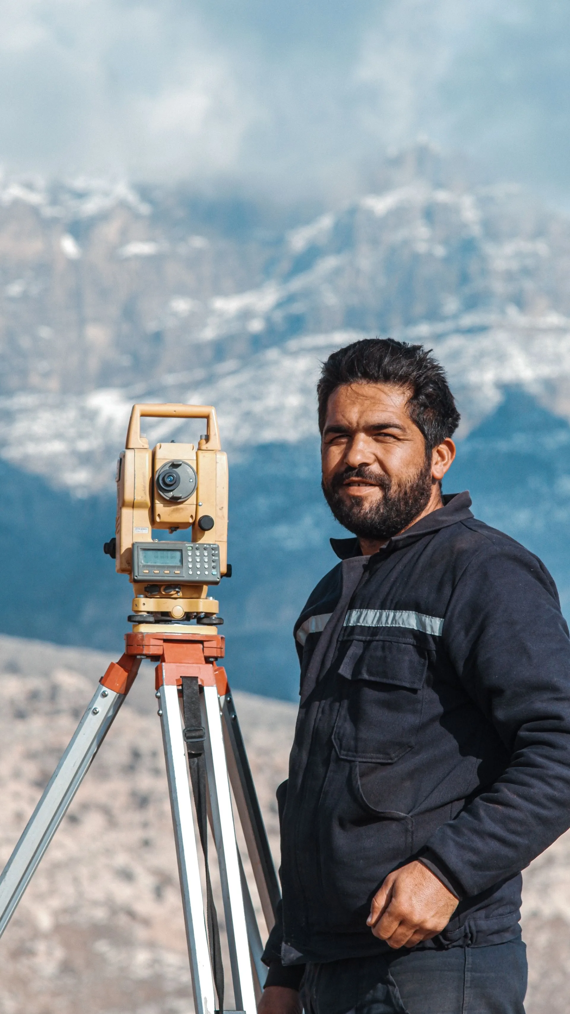
A topographic survey maps the physical features of the land: contours, elevations, slopes, water bodies, existing structures, vegetation and drainage. It answers the question the cadastral plan cannot: what will building here involve?
When you need it:
- Designing a building, drainage or estate layout
- Building on sloping or filled land
- Planning earthworks, roads or landscaping
- Engineering projects where the ground shape drives the design
What it produces: A contour map with spot heights and features, the base layer architects and engineers design on.
Which One Comes First?
For a building project, the order is usually:
- Cadastral survey to confirm and secure the legal land
- Topographic survey to give the design team the real ground
- Then design, approval and construction
Some buyers skip the topographic survey on flat plots. It is the right call on simple, level sites. On any site with slope, fill or drainage questions, designing without contours is guessing with money.

What They Cost in 2026
| Survey | Typical range (₦) |
|---|---|
| Cadastral survey / survey plan production | 150,000 to 350,000 |
| Topographic survey | 250,000 to 600,000 |
| Both on one site | Bundle pricing usually available |
The combined cost is a small fraction of a foundation failure or a boundary dispute.
The One-Number Rule
If you only remember one thing: the cadastral survey is about who owns the land, the topographic survey is about what the land is like. Buy and sell with the first. Design and build with the second.
Get the Right Survey, First Time
VETONGROUP’s licensed surveyors carry out cadastral searches, topographic surveys, beaconing and setting out in Edo State, with the same team mobilising for other states on request. We will tell you which survey your project needs, and quote it honestly.
Book a free consultation. Response within 24 business hours.
Services that solve this
Fixed quotes, registered professionals, and a client portal so you can track it from anywhere.
Need help with this? Book a free consultation with VETONGROUP.
Book Free Consultation